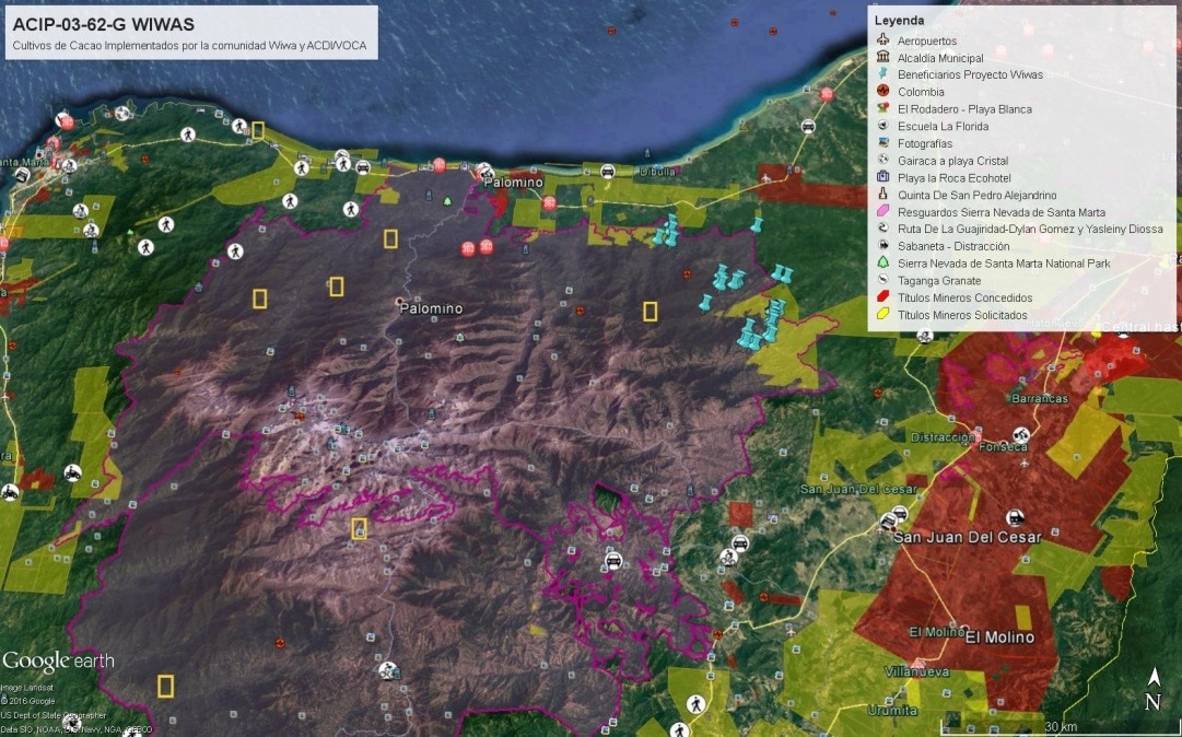
Wiwa Community Uses Google Earth to Establish Demo Plots and Protect Ancestral Land
Our USAID-funded Afro-Colombian and Indigenous Program (ACIP) improves the status and incomes of ethnic minorities in Colombia. The small indigenous Wiwa community of northern Colombia’s Sierra Nevada de Santa Marta is one such community. They live in the Kogui-Malayo-Arhuaco indigenous reserve.
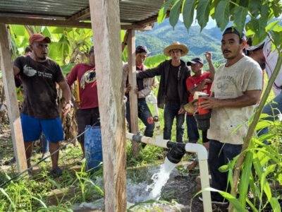
For the Wiwa, economic growth initiatives must be comprehensive and take their culture and worldview into account. Such activities must respectfully use their land and preserve mother earth by balancing natural resources. Because Wiwa communities in La Guajira department have been previously unsupported, ACIP has stepped in to help them commercially cultivate cocoa and fruit through agroforestry systems.
Part of ACIP’s intervention in the area involved a Geographic Information System (GIS) specialist who trained community members, including 50 families, to establish demonstration plots. Each family mapped out and then cultivated two hectares of land with cacao, plantain, and/or avocado. In total, the community cultivated 100 hectares.
Additionally, as part of the project’s Monitoring and Evaluation (M&E) activities, the project trained community members as GIS technicians. These individuals learned how to georeference project participants, information which they then provided to ACIP. The project also installed Google Earth, the free collaborative mapping software, on the Wiwa organization’s computers and taught the technicians how to use it to supplement more traditional, thematic mapping that shows the location of indigenous reserves, municipal and departmental borders, national natural parks, bodies of water, and roads.
Empowered by this new technology and the knowledge of how to use it, the Wiwa community became interested in how they could use georeferencing to protect their ancestral lands against potential future threats posed by mining incursions. To further this investigation, ACIP provided the community with mining titles as established by the National Mining Agency. By learning how to organize, store, and operate Google Earth, the Wiwa community can now better preserve their lands by identifying mining requests that may overlap with their indigenous reserve and affect members of their community.